It‘s the southernmost trek in the world. But you already knew this so let‘s proceed to the glorious piece of literature that is this blog entry.
The Dientes de Navarino is a great experience and the truth is that there‘s a lot more to it than just the hike.
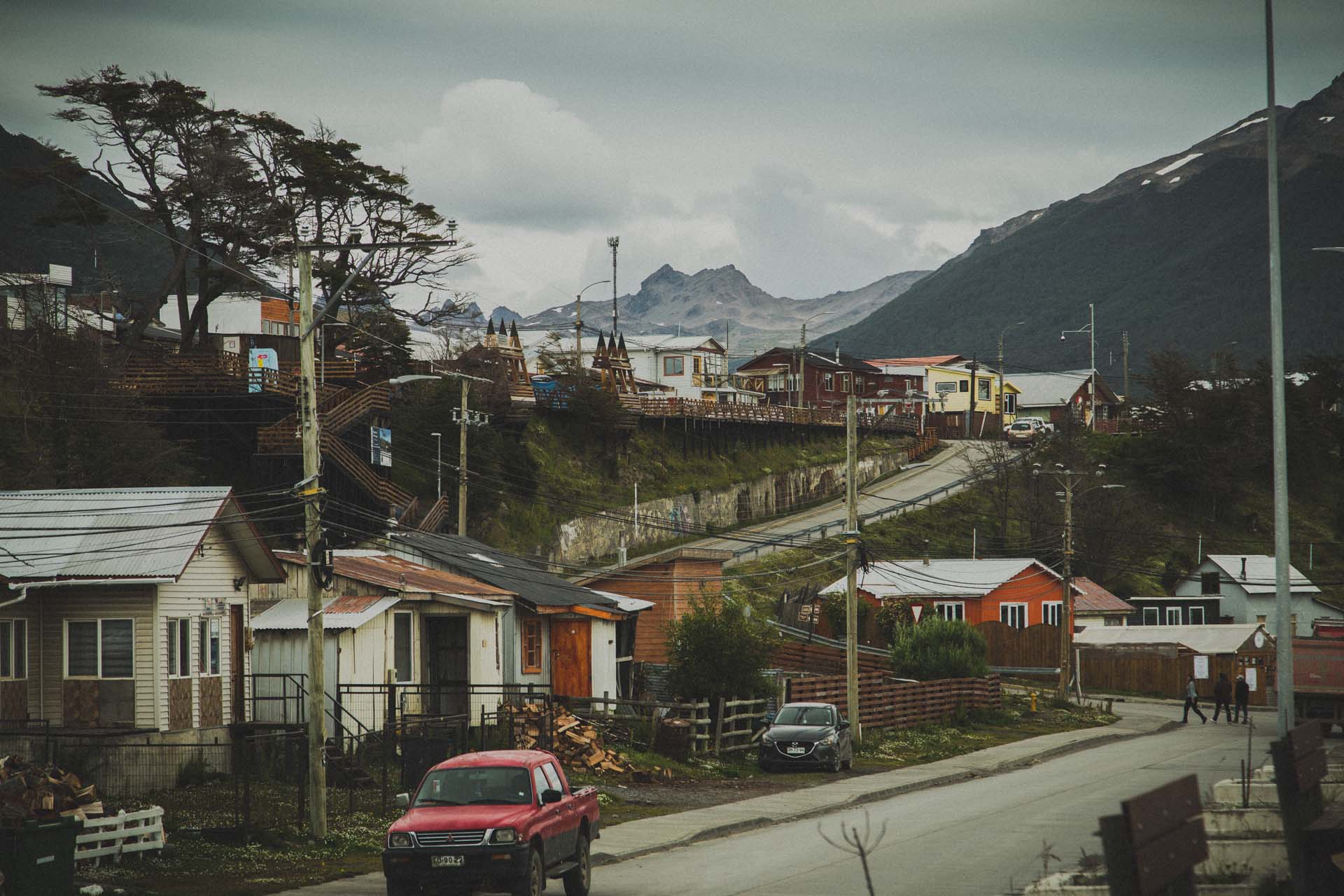
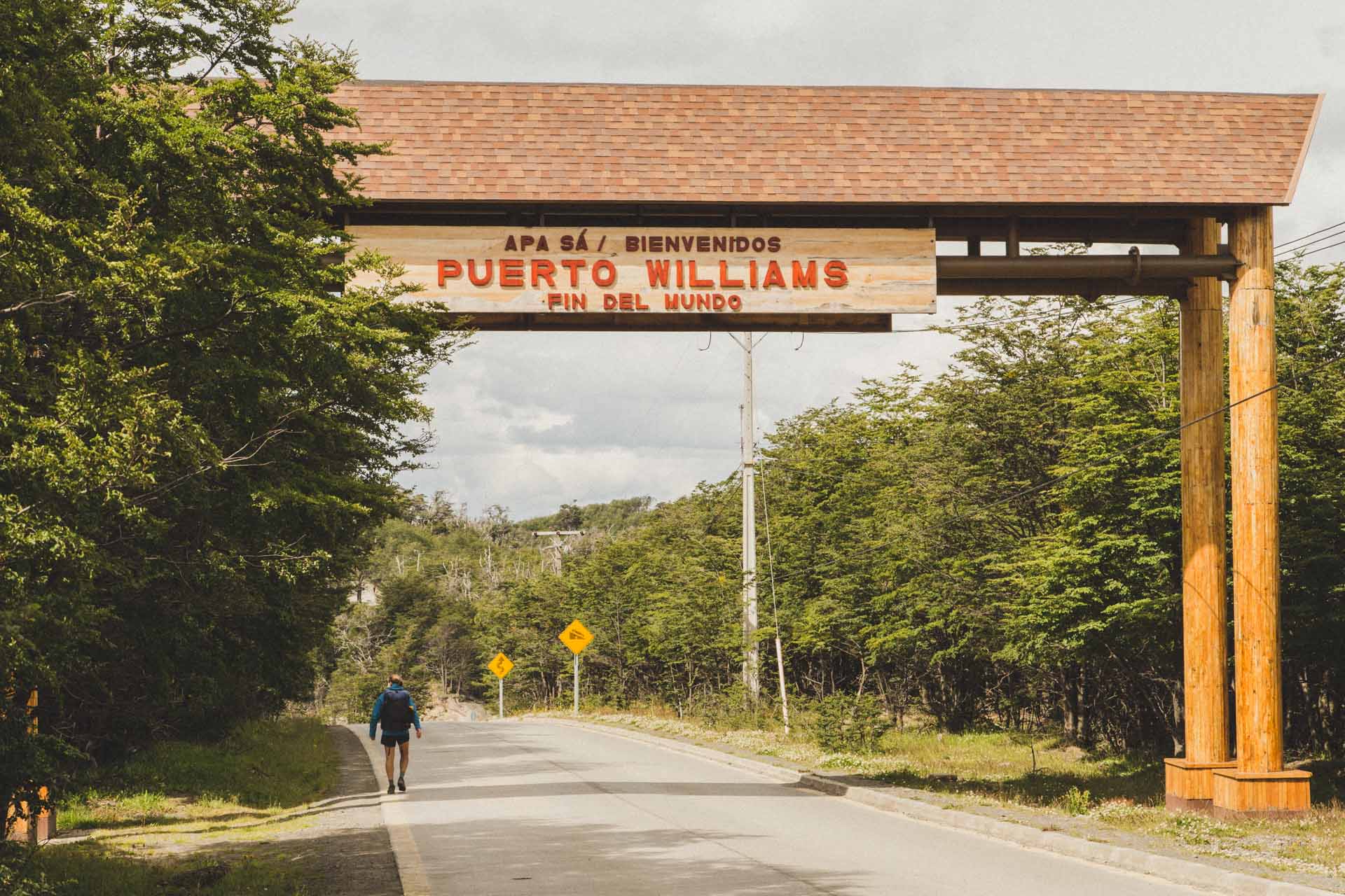
The trek starts from Puerto Williams. And while every souvenir from Ushuaia has „southernmost city in the world“ written all over it, Puerto Williams is actually even more southernmost. This means that traveling there is in and of itself something, we think. Although that does not mean that it‘s particularly hard to get there:
There are flights from Puerto Natales, there‘s a small motor boat that departs from Ushuaia and there‘s a proper ferry from Punta Arenas. If you opt for naval transportation, you should add some extra days to your itinerary as the big ferry only runs twice a week and the small one from Ushuaia can get cancelled, if the seas are too rough. The planes are often fully booked, as we found out.
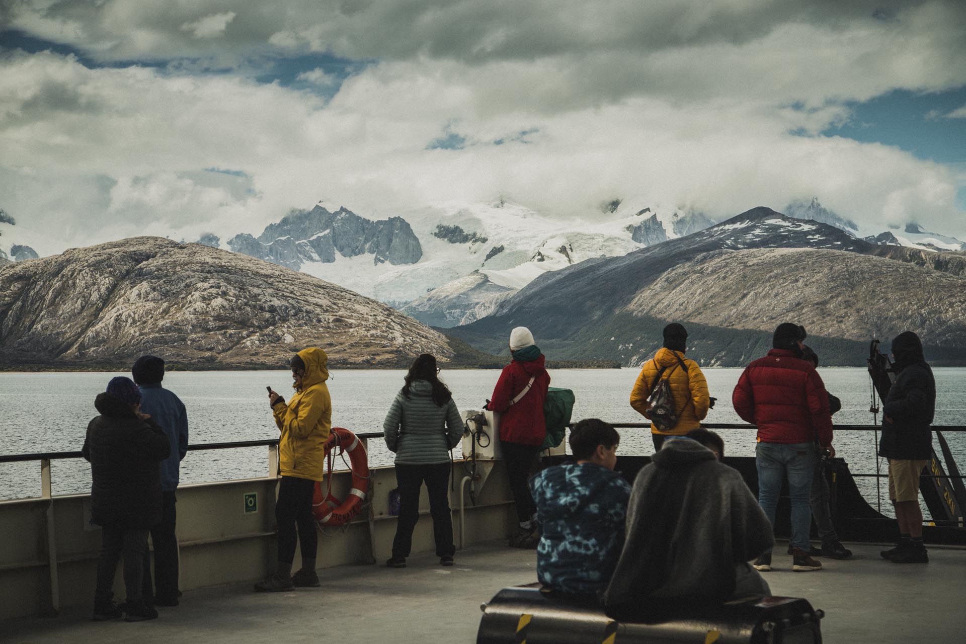
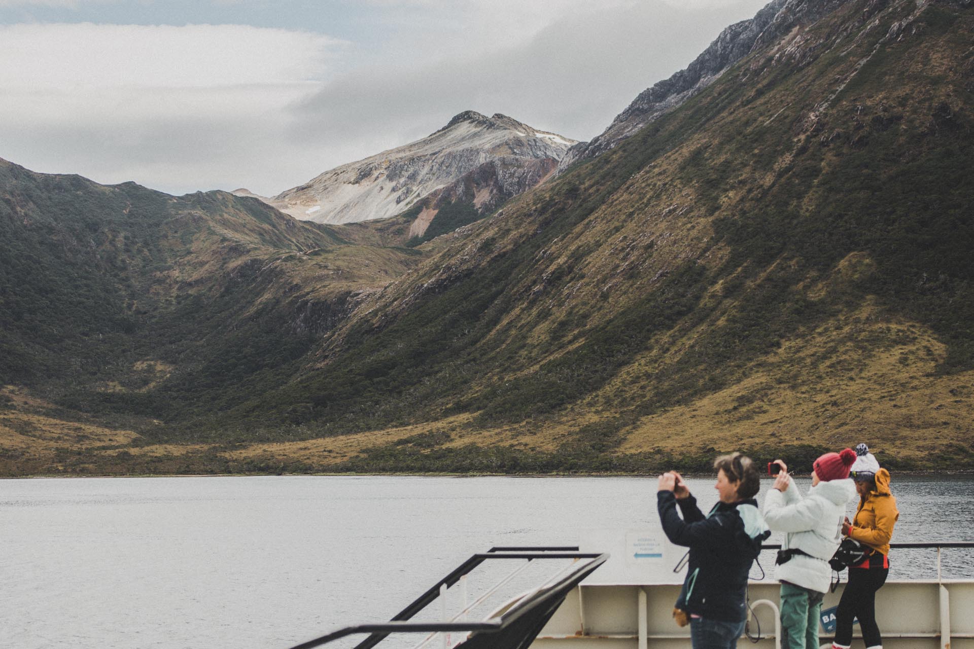
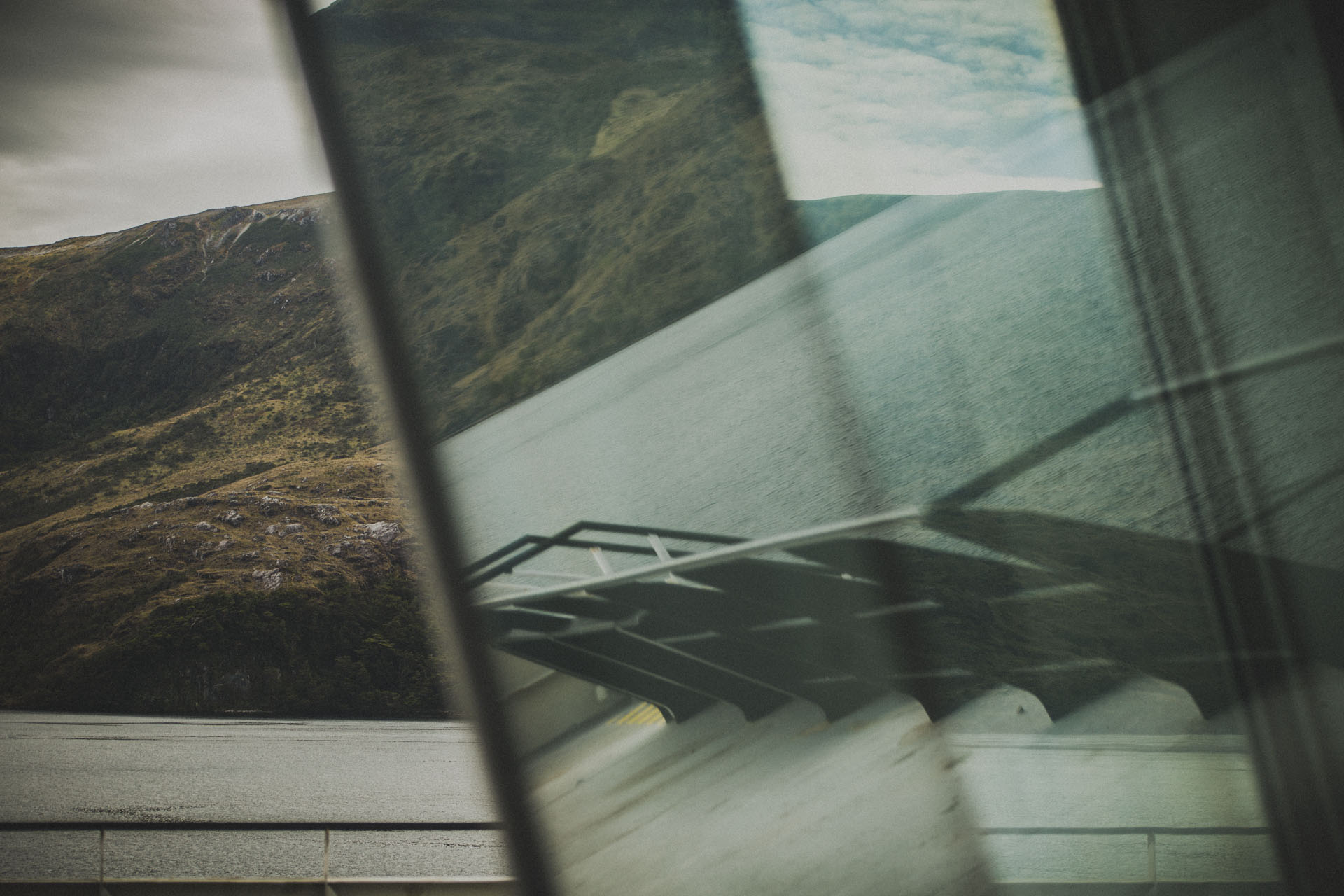
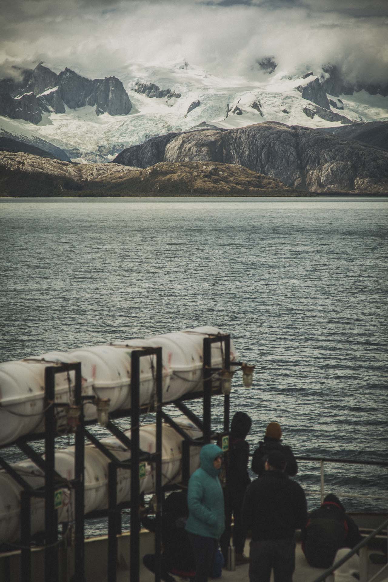
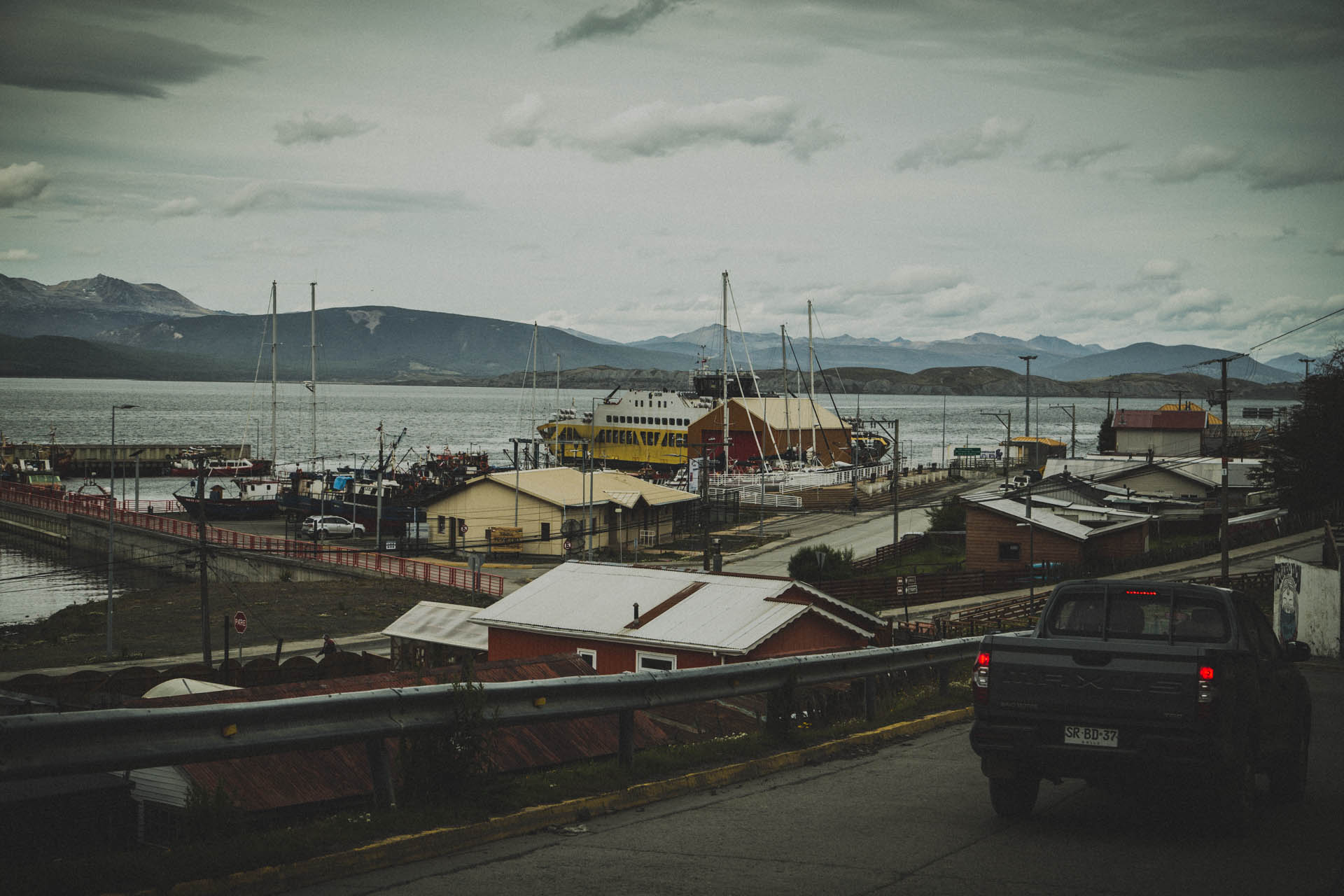
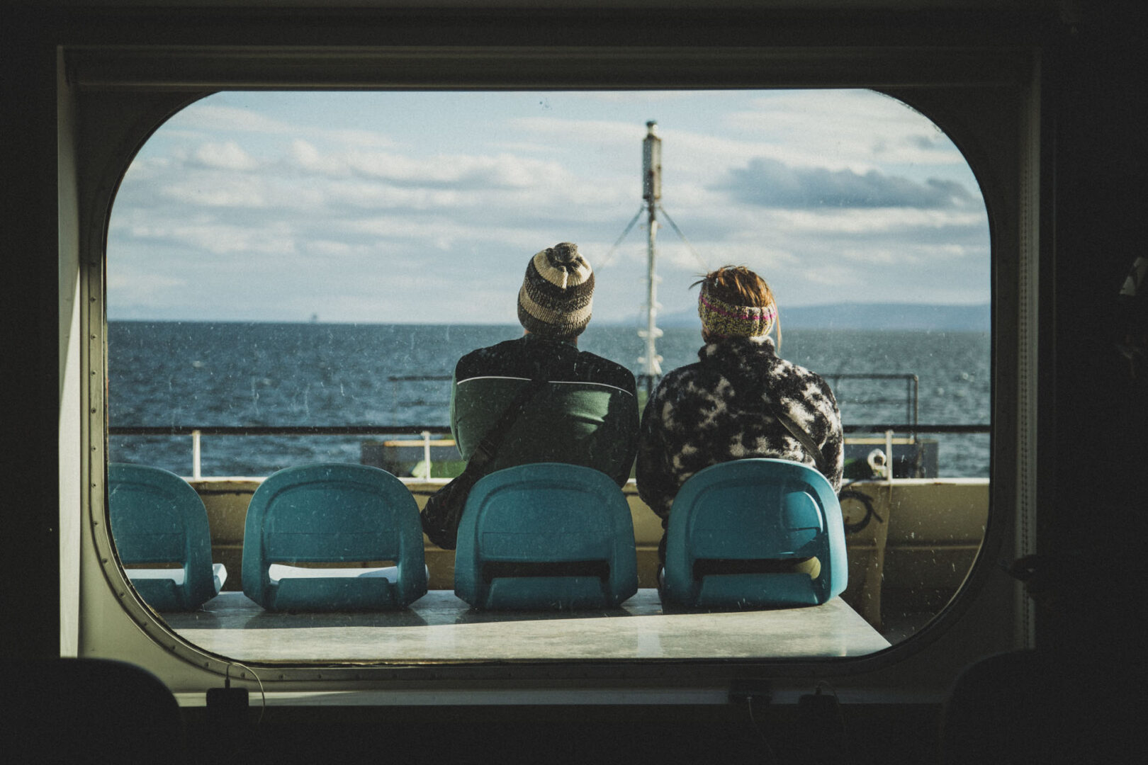
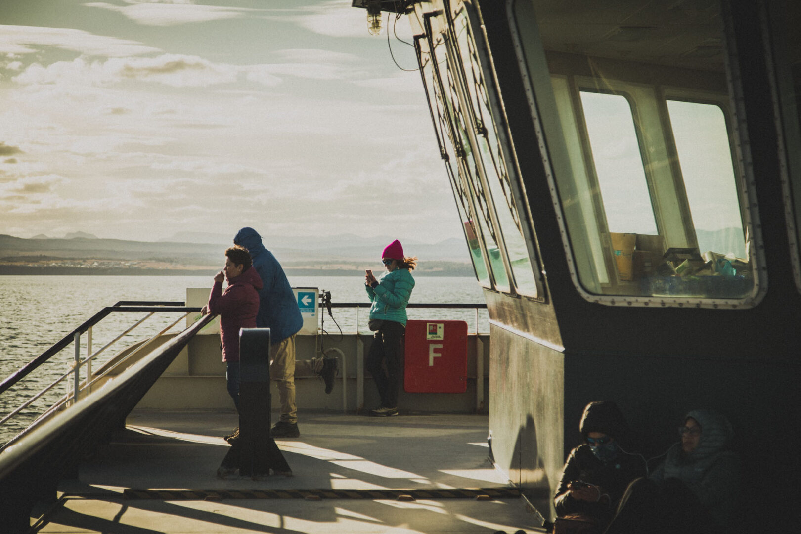
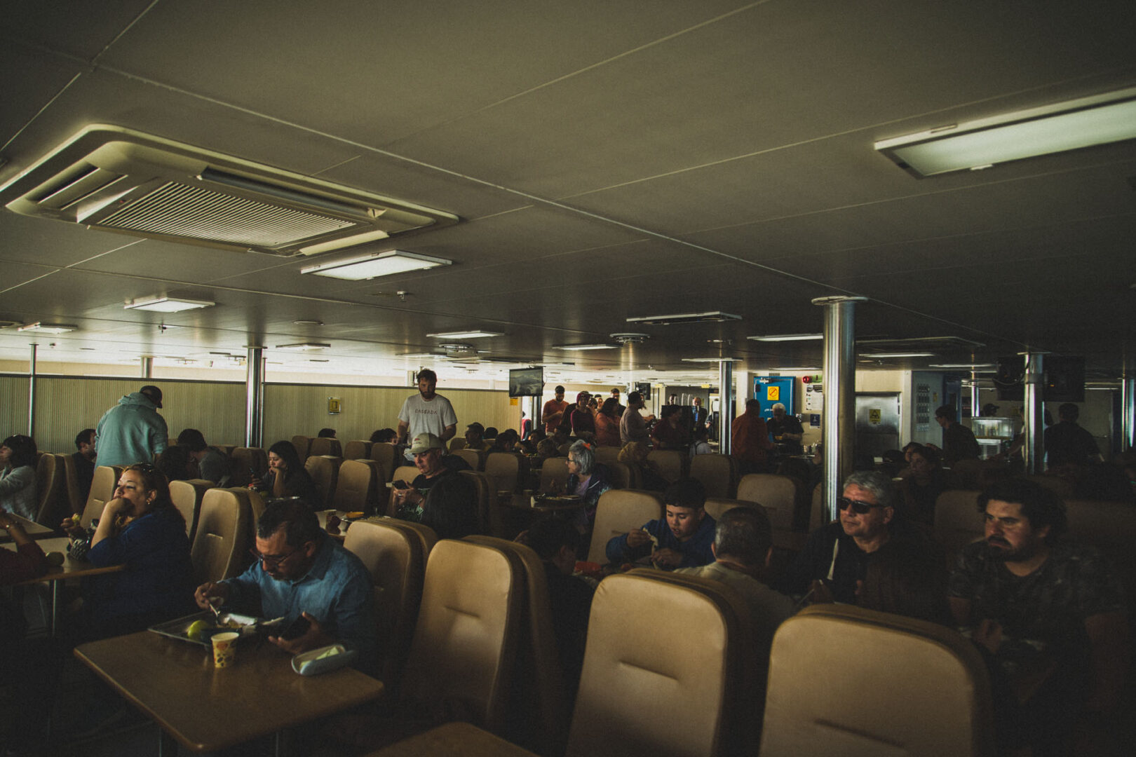
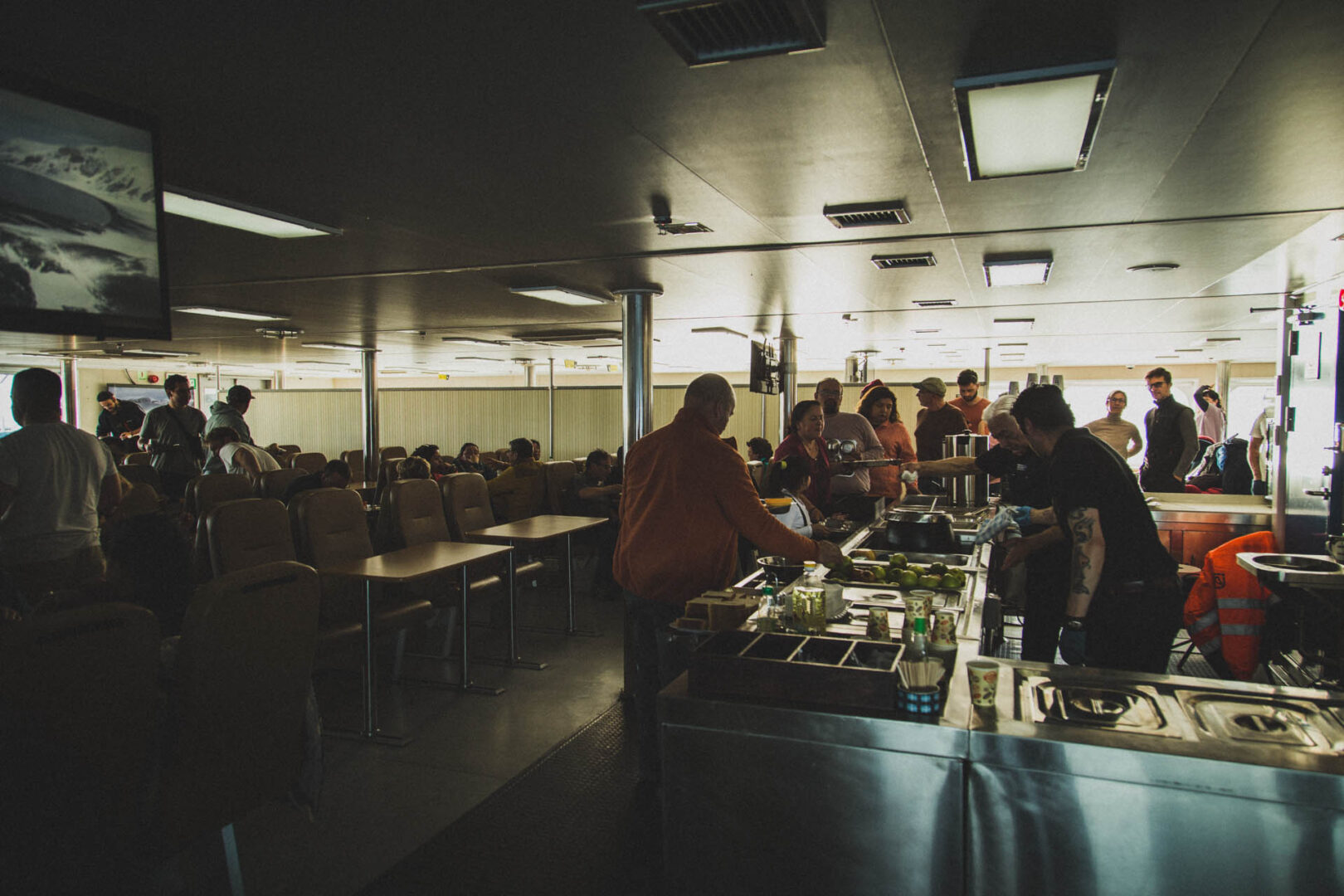
We ourselves took the big ferry from Punta Arenas. The ride takes a bit over thirty hours and passes through the Alberto d’Agostini national park. The landscapes, being of the fjord and glacier type, are amazing and they somewhat shorten the time aboard. The ferry itself is sufficiently comfortable, but don’t expect a luxury cruise ship. You have reclining seats (semi cama, as they say), four meals are included in the price and there are showers. Bringing a book or podcasts is highly recommended.
We can absolutely recommend Mi Café for coffee, cake and tourist info. In fact, we think that Gabriela, the very nice multilingual lady from Mi Café, is the unofficial mayor of the town. When we asked her how to best get to Ushuaia, she immediately offered to arrange the trip. She made some phone calls, we gave her the money and that was that. A bit of trust is required, though. We didn’t get a receipt and had to wait a couple of days for a final confirmation. Mi Café is located right next to the ferry port.
Pizzalogia and Notro Patagonia Emporio y Expediciones were also very good. The latter had freeze dried food and a small zero waste grocery section.
We stayed at Alojamiento Navarino. They are studio apartments with a washing machine, which is always nice. The price was fair.
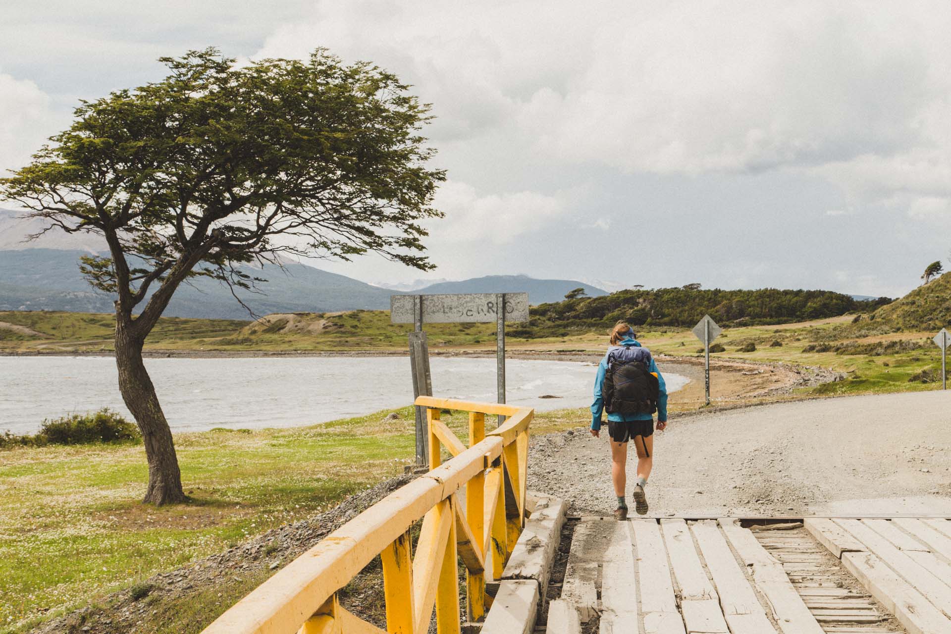
We also spent one night at Hotel Forjadores and it was way too expensive for what it is. Don‘t go there! Where the trail ends and meets the main road at Bahía Virginia, there‘s a place called Errante Ecolodge. We wanted to stay there, but it was fully booked, unfortunately. But it looks like the perfect place to stay right after the trek.
As for the trek: apart from the trail itself, there is no infrastructure whatsoever. No refugios, no showers, no toilets, no place to restock. There are suggested campsites, but you can basically pitch your tent anywhere you want. And that’s the beauty of it and that’s what we came for. Just don’t be an asshole and take your trash with you and bury your poop!
How to get there
To reiterate
-check out DAP Airlines. Flights from Punta Arenas cost around 110$ one way.
-or the ferry from Punta Arenas (tabsa.cl). It runs twice a week, it takes about 30h, there’s cama and semi-cama seats available, cama seem to be reserved for locals. It’s 143$ per person including 4 meals.
-Ferry from Ushuaia operated by Onashaga Expeditions. Runs between Ushuaia and Puerto Navarino. It’s a small vessel that seats 10-12 passengers. A bus then takes you the rest of the way to Puerto Williams. Runs daily, sometimes twice a day, sometimes not at all, depending on the weather. They also help you with the immigration stuff since you’re crossing a border. All in all, it takes about 2h and costs 150$ per person.
Stats
The basic version of Dientes de Navarino is a 43km loop with 2400m of elevation, if you add the last couple of kilometers on the dirt road that leads back to Puerto Williams. Most people do it clockwise. It can be done in 3 days. We did three nights and a short last day. The weather plays a big role in how fast you can make headway. So maybe pack an extra meal.
You can add another 30km, if you make the out and back to Lago Windhond. We didn‘t do that, however.
The hike
Day 1 – Puerto Williams to Laguna del Salto (11,5km 950m)
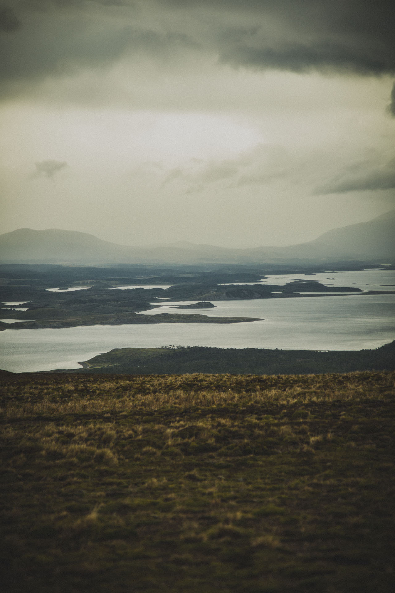
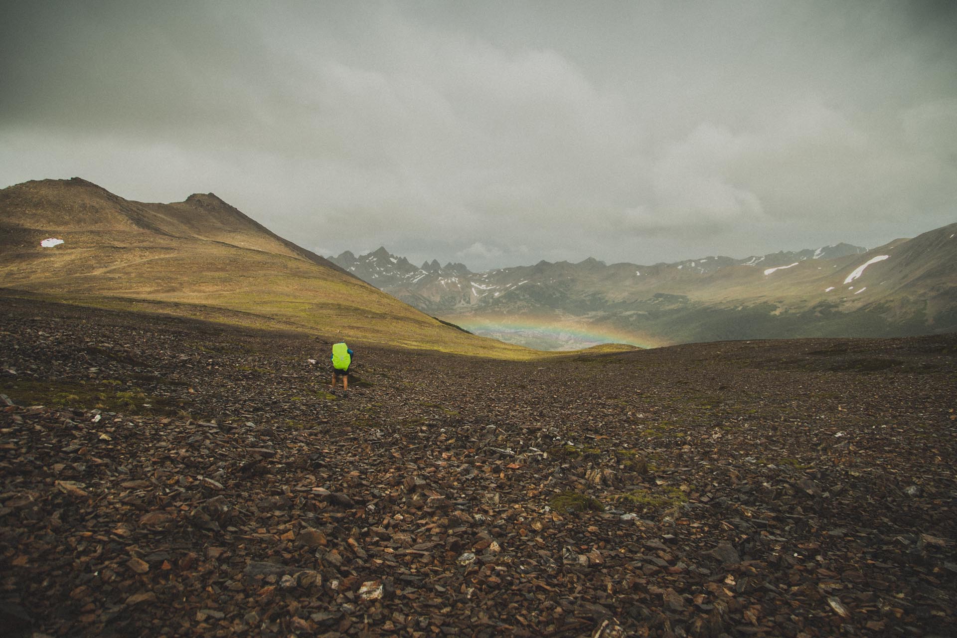
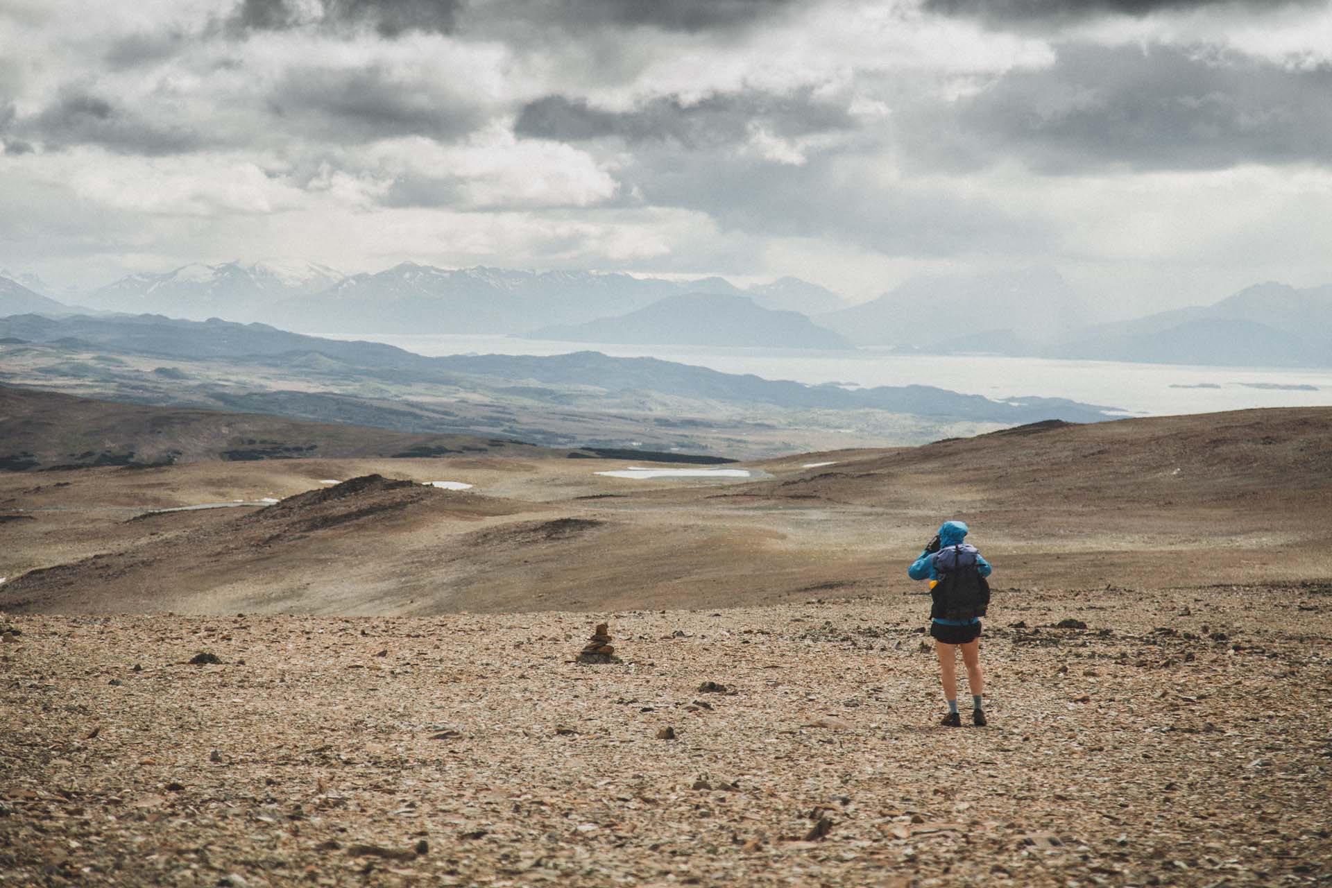
We left town on a sunny morning and got our sweat on up to Cerro Bandera. It pays to turn around every now and again to get a view of the Beagle Channel. At the top it started raining and the winds got stronger. The next part of the trek is more or less flat, but quite exposed in some places, so it was definitely a section where we watched our steps carefully.
The last part is a steep, but short downhill to Laguna del Salto. We had our tent ready just before the rain got really bad and when we glanced outside during the night, the rain had already turned to snow. Everything they said about Patagonian weather was true on the first day of the Dientes.
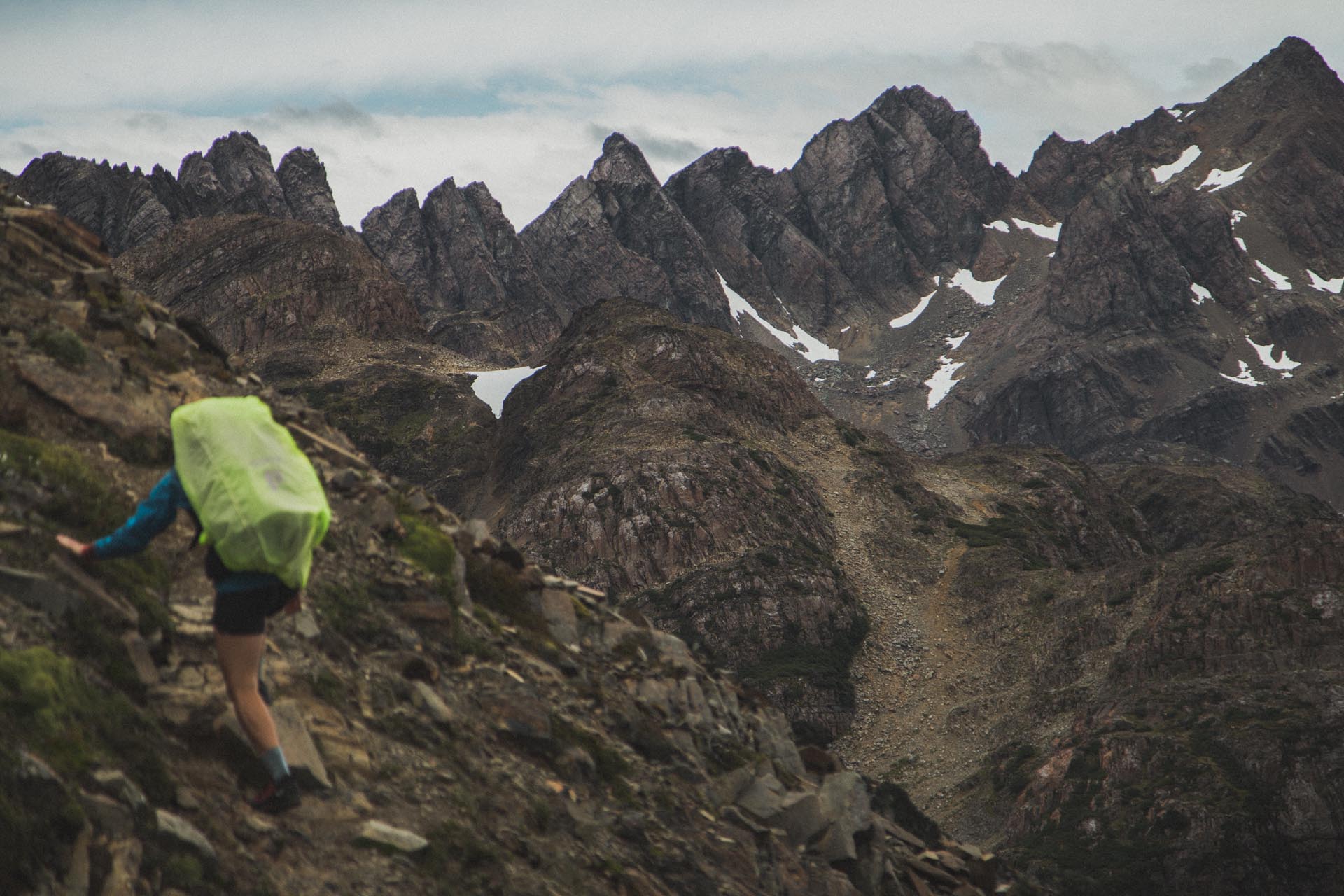
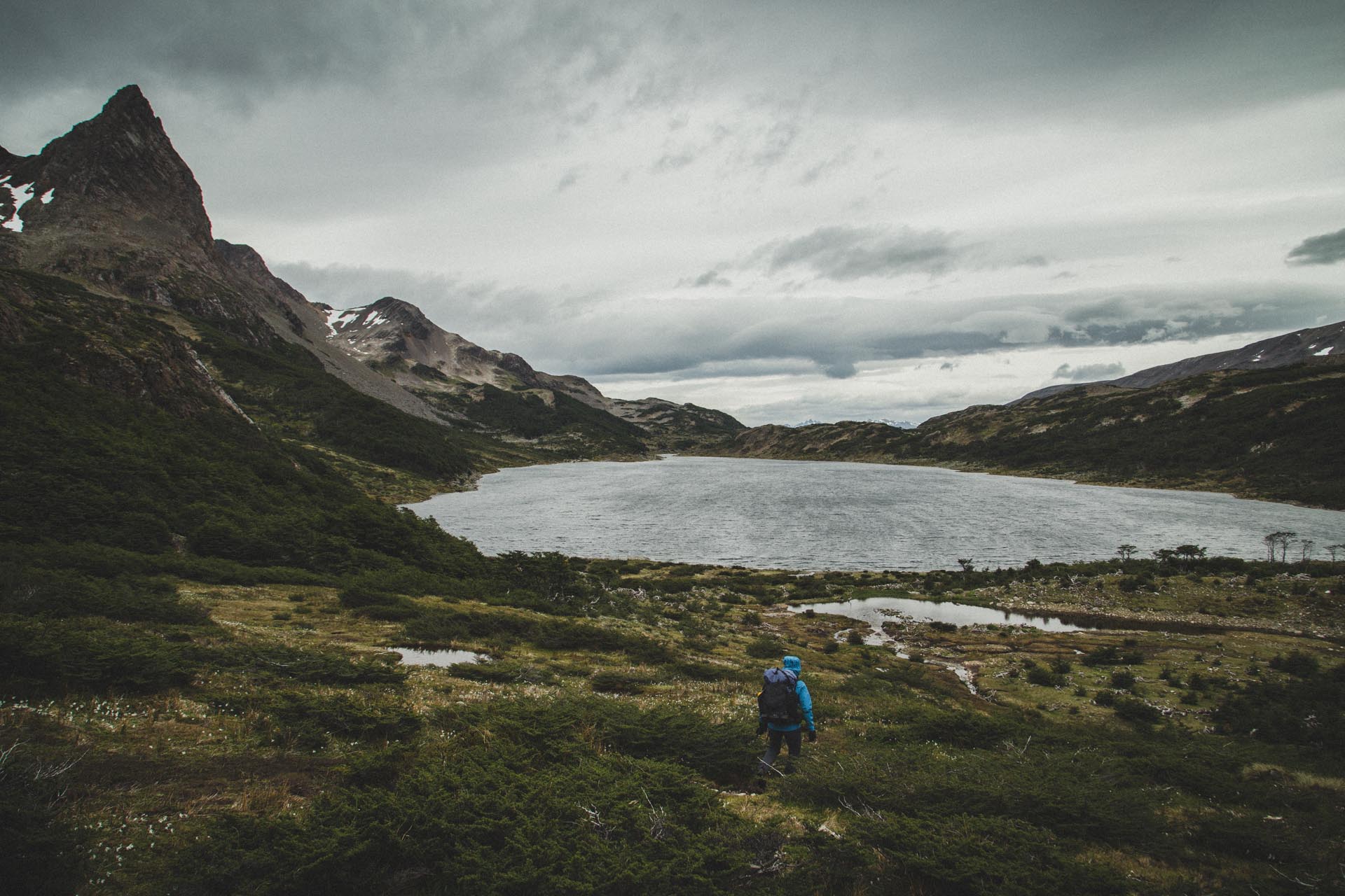
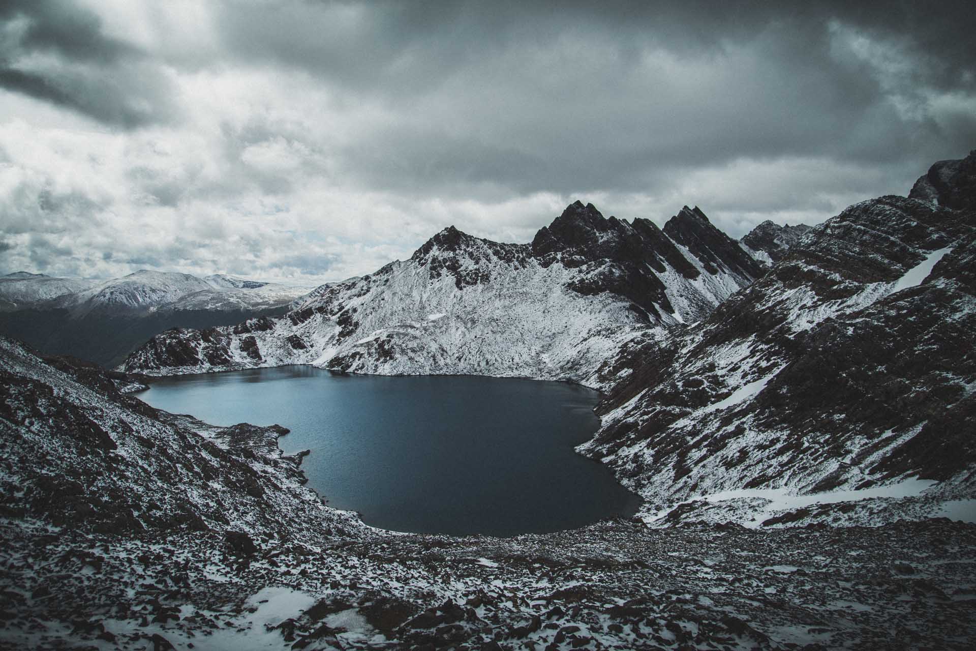
Day 2 – Laguna del Salto to Laguna Hermosa (14,5km, 1020m)
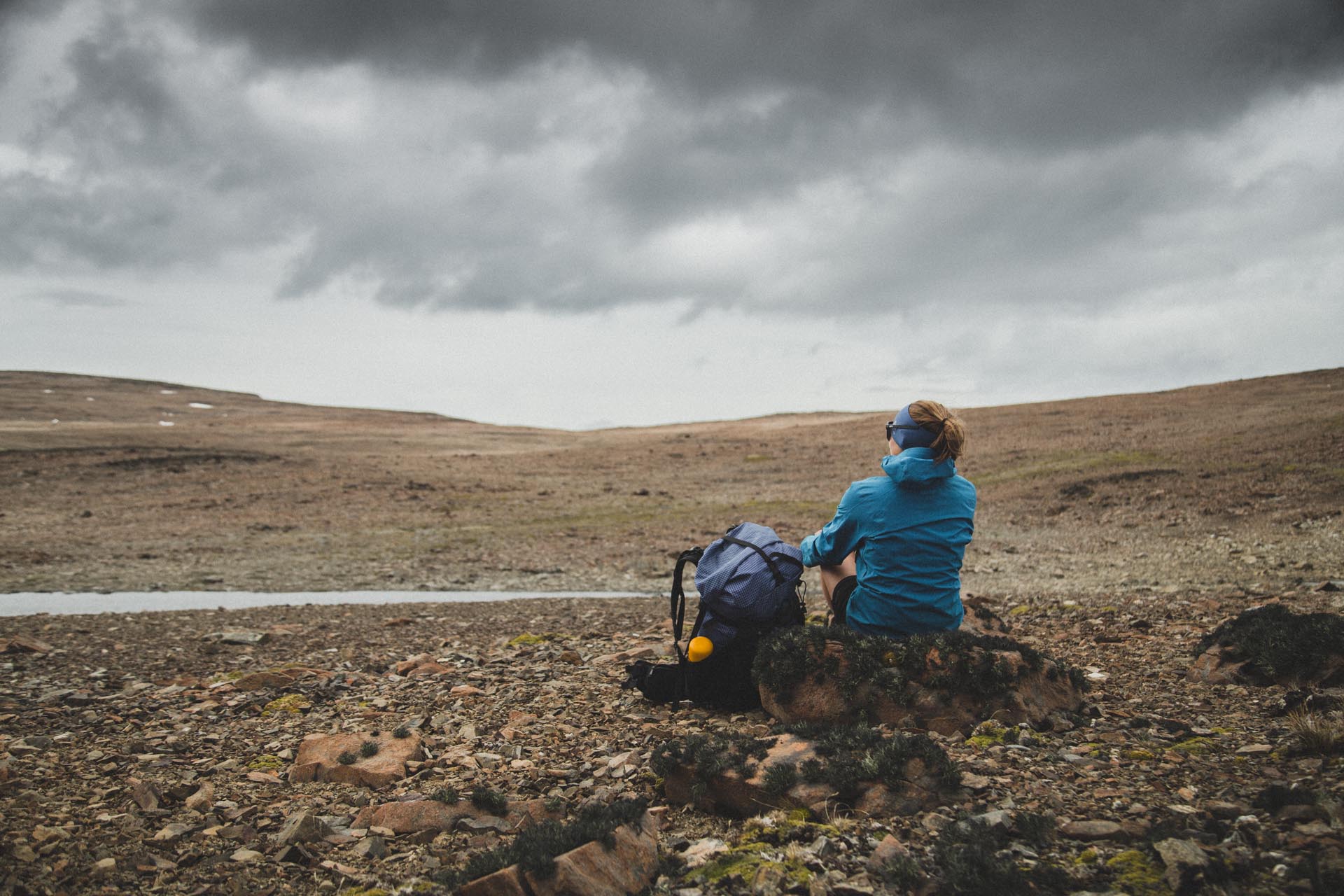
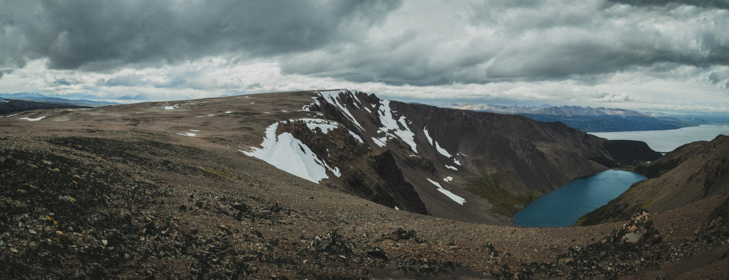
Day two started out so cold that we opted for long pants. One of the very few occasions this happened. Thanks to the snowy conditions the vistas across Paso de los Dientes were amazing.
We passed a dutch couple across the pass and after that, the next time we saw other people was at the end of day three.
Near the end of the downhill from Paso de los Dientes there‘s a fork, where we took a right. Proceeding straight at this point will lead you to Lago Windhond.
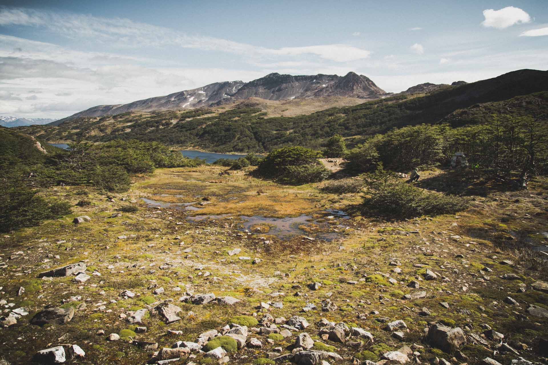
Continuing on, we passed countless lakes, one clearer than the other and by early afternoon the sun came through.
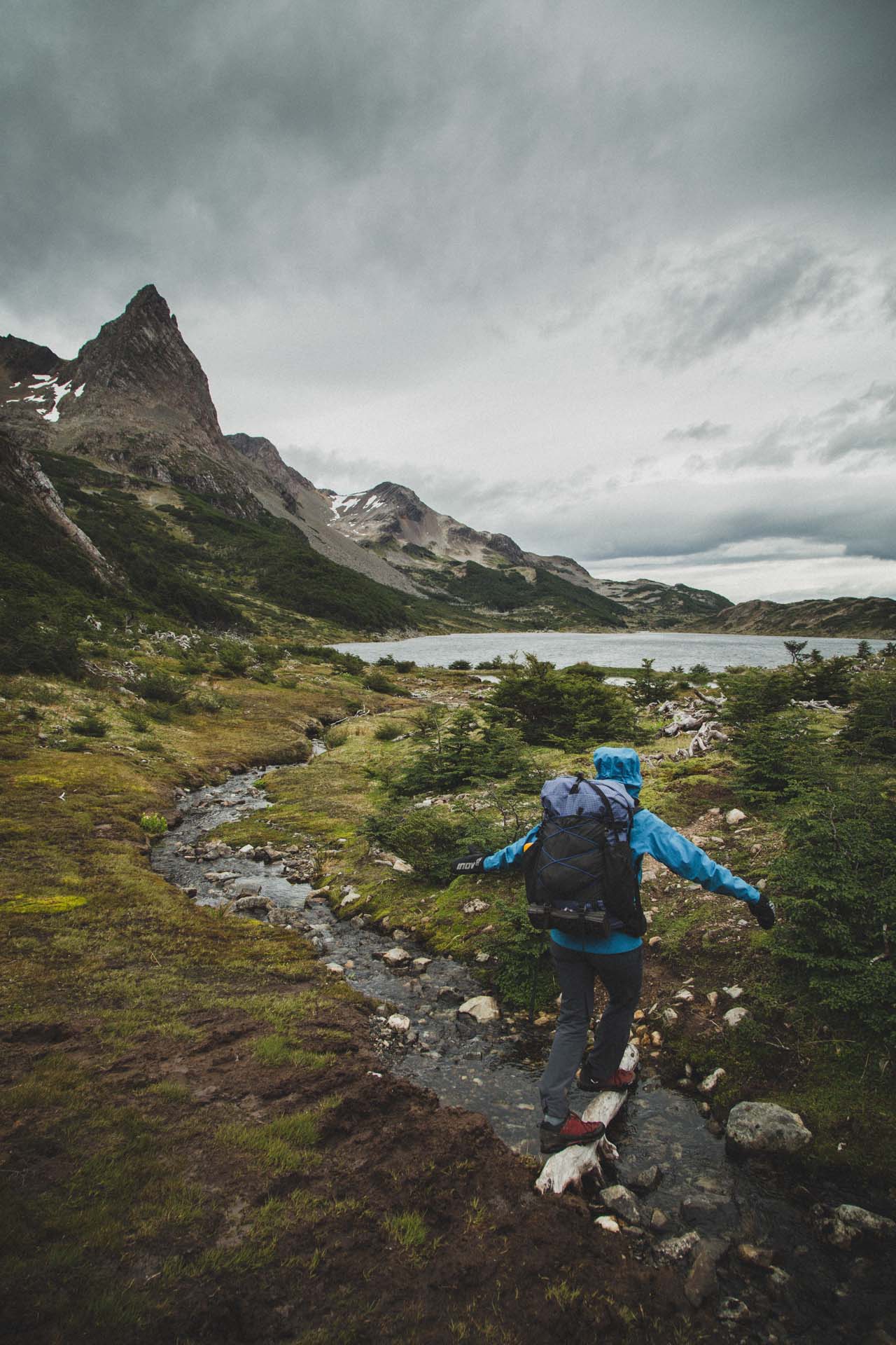
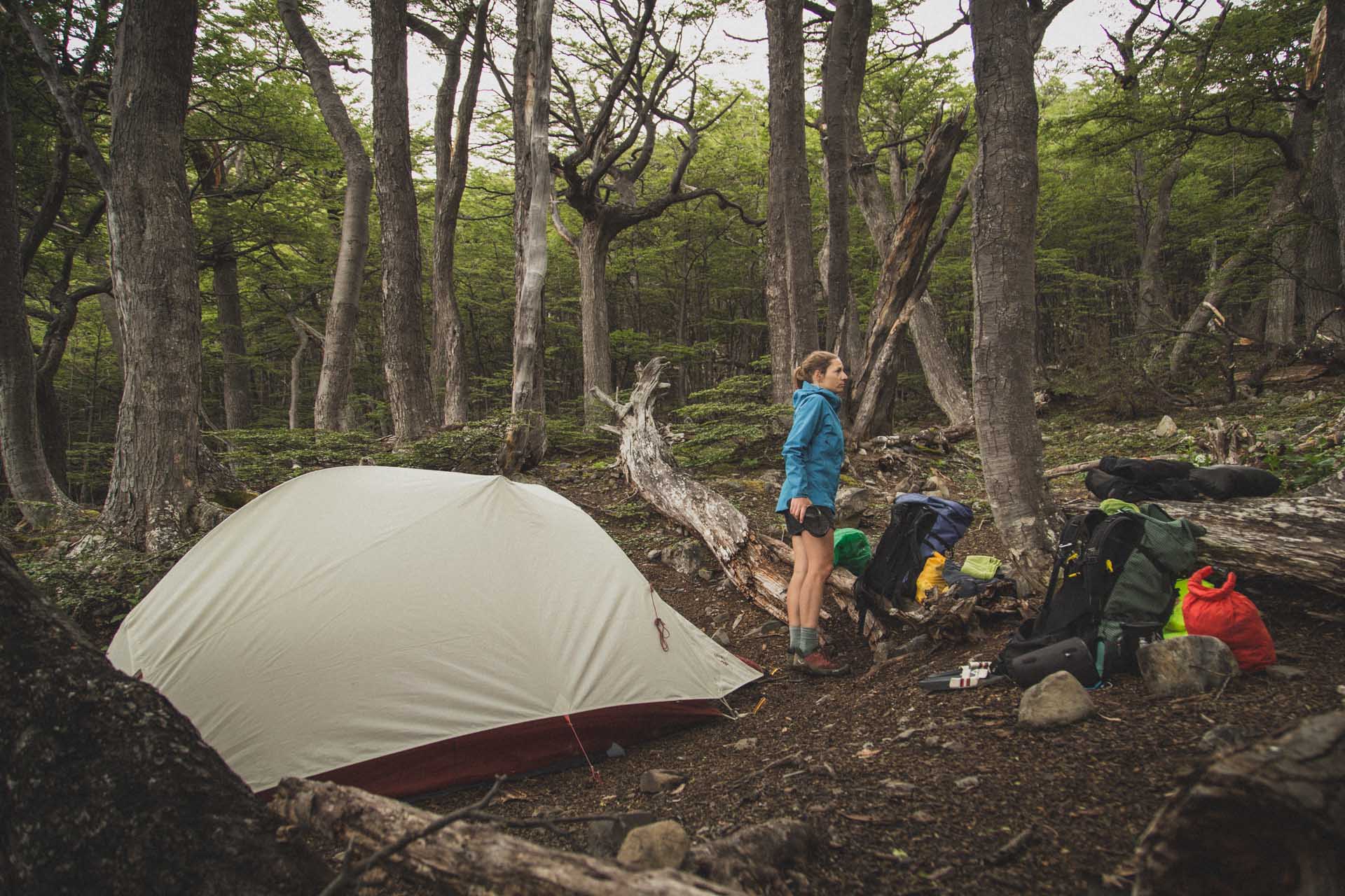
We set up camp actually between Laguna Hermosa and Laguna Martillo. We didn‘t find a spot with sufficient wind shelter at Laguna Hermosa. Yet, shortly after the lake we came across a patch of trees with a flat spot in the middle that was just perfect. You could see that people had used this site before. A minute or so away was also a river for washing up and collecting water for cooking.
I still like to think of this particular campsite. It was not especially picturesque, but lying in the tent, we could hear the fierce winds rolling over the land outside and we were lying there in our litte tree bunker, completely sheltered. Good memories!
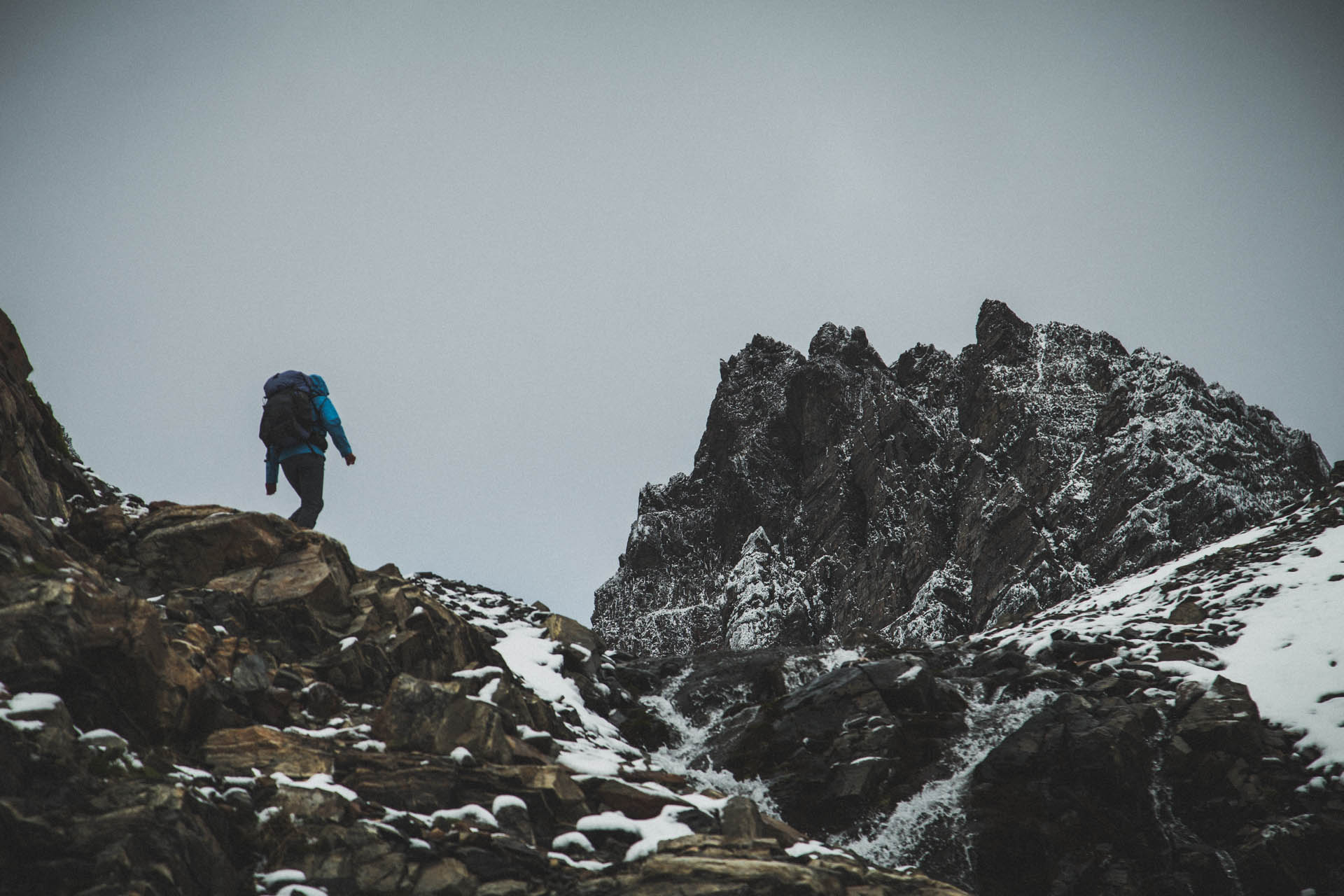
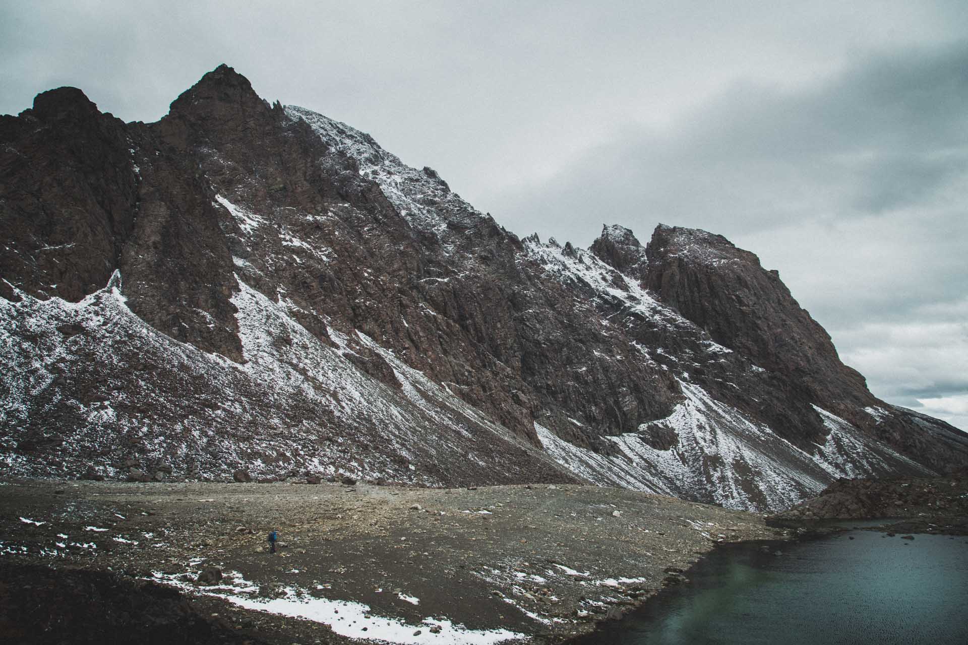
Day 3 – Laguna Hermosa to Laguna de los Guanacos (12,4km, 805m)
You will find that much of the walking after day one consists of navigating through extensive swamps and deep mud. Apparently beavers have been introduced to Navarino Island from outside and without any natural predators, they continue to shape the land to their liking. This meant that we came across quite impressive beaver architecture that dammed up big lakes and long muddy sections. Also, the whole beaver madness consistently alters the course of the trail, so at times we had to just zigzag around, looking for the best and driest way. To avoid getting lost completely, make sure to bring some form of GPS navigation.
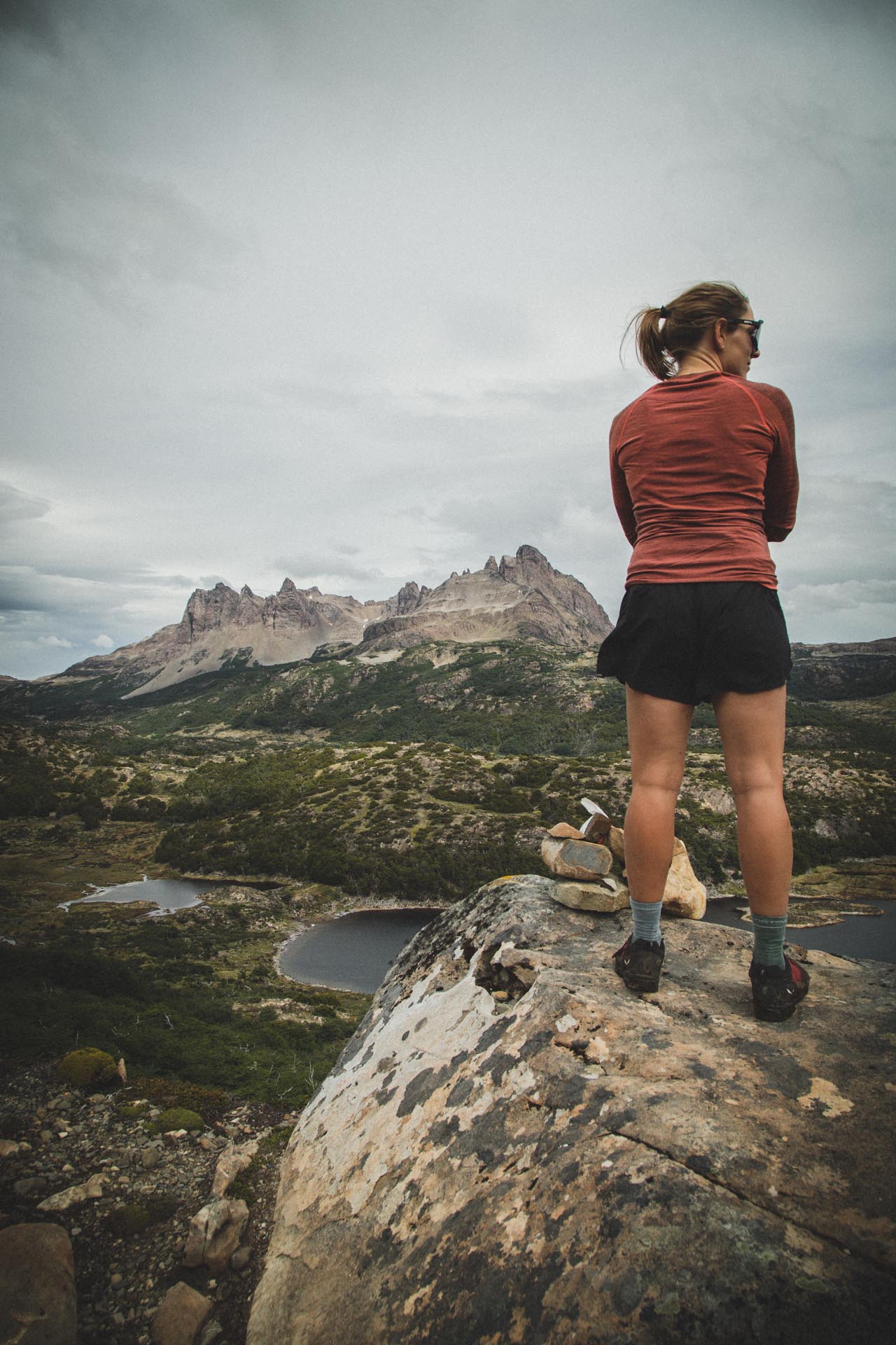
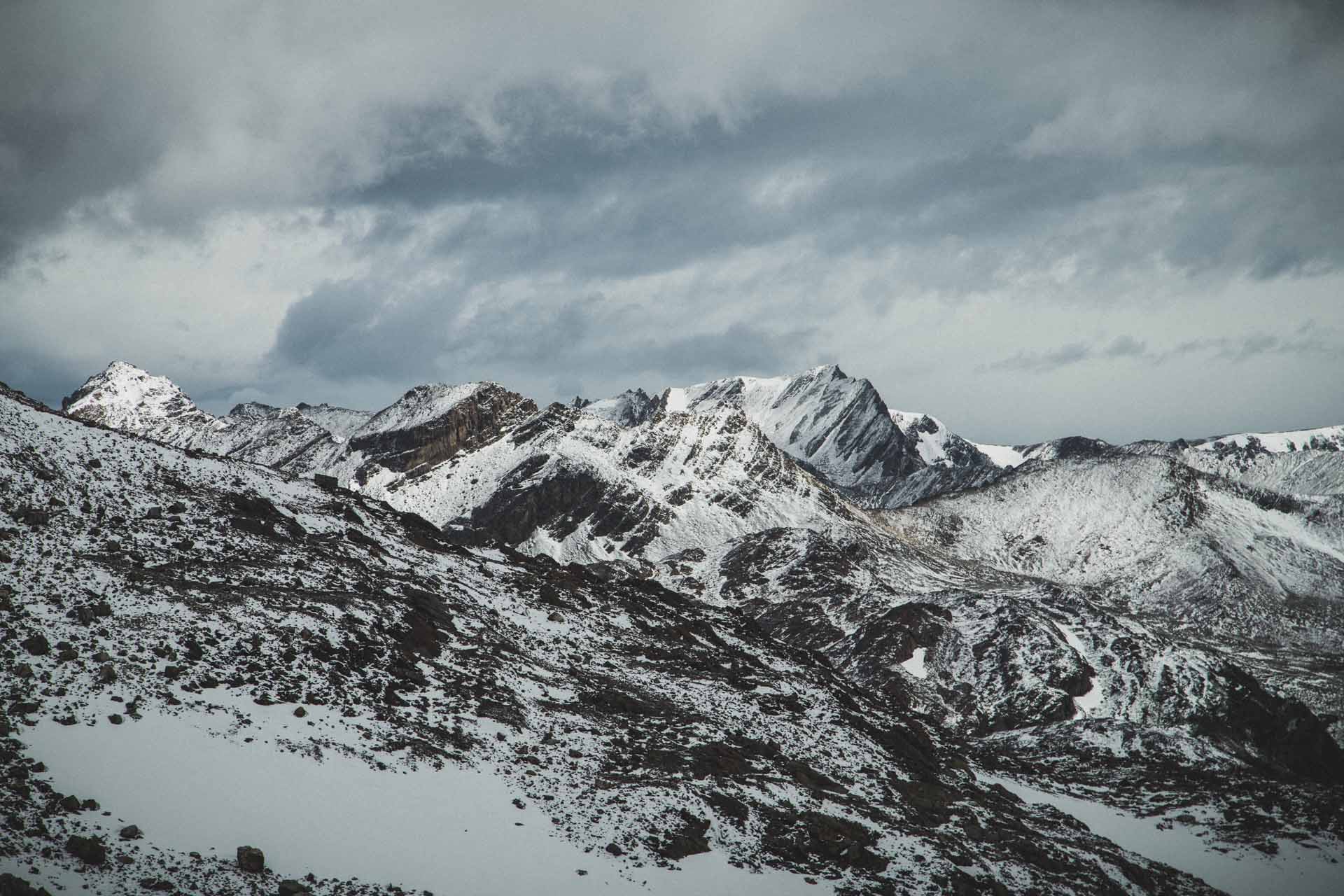
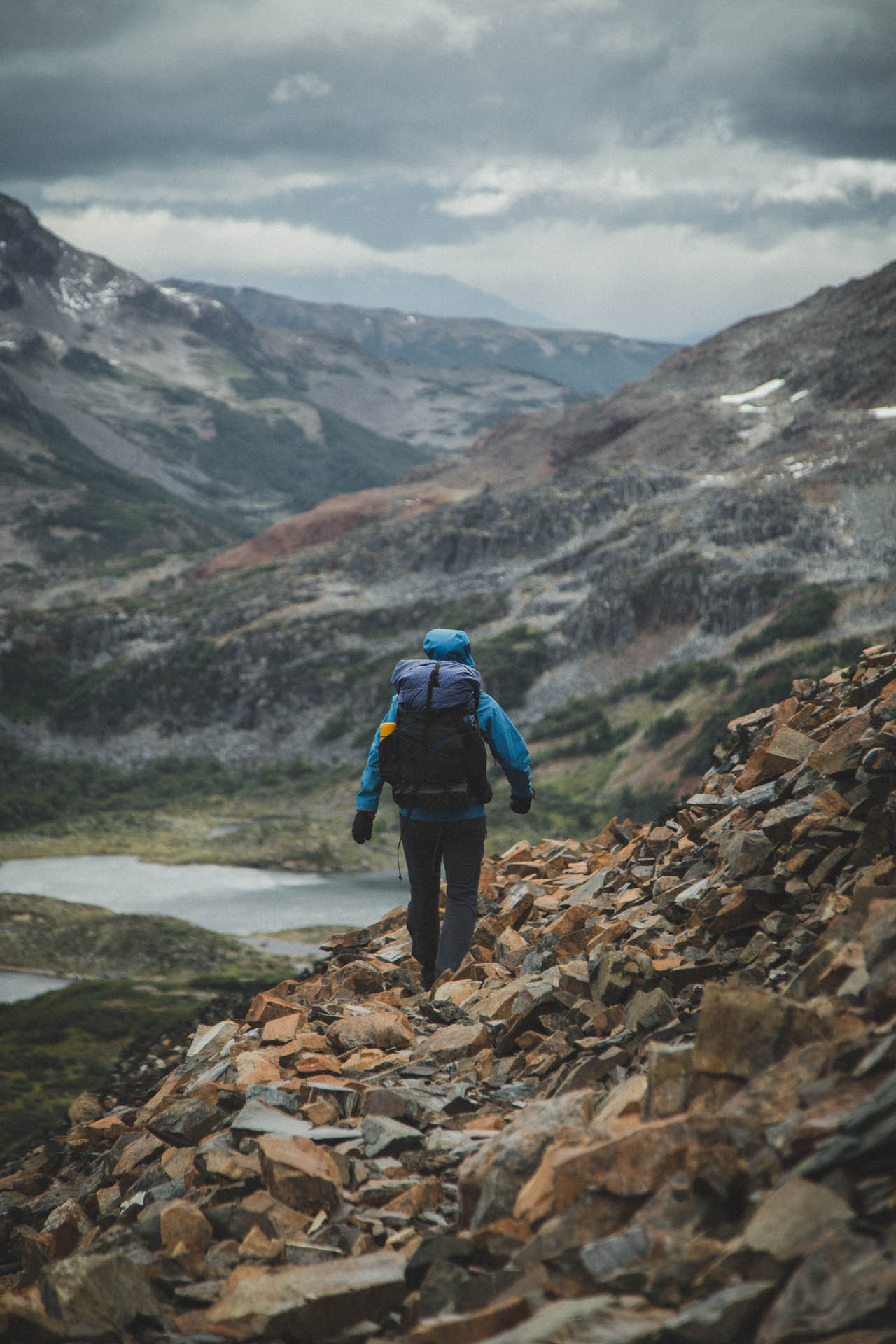
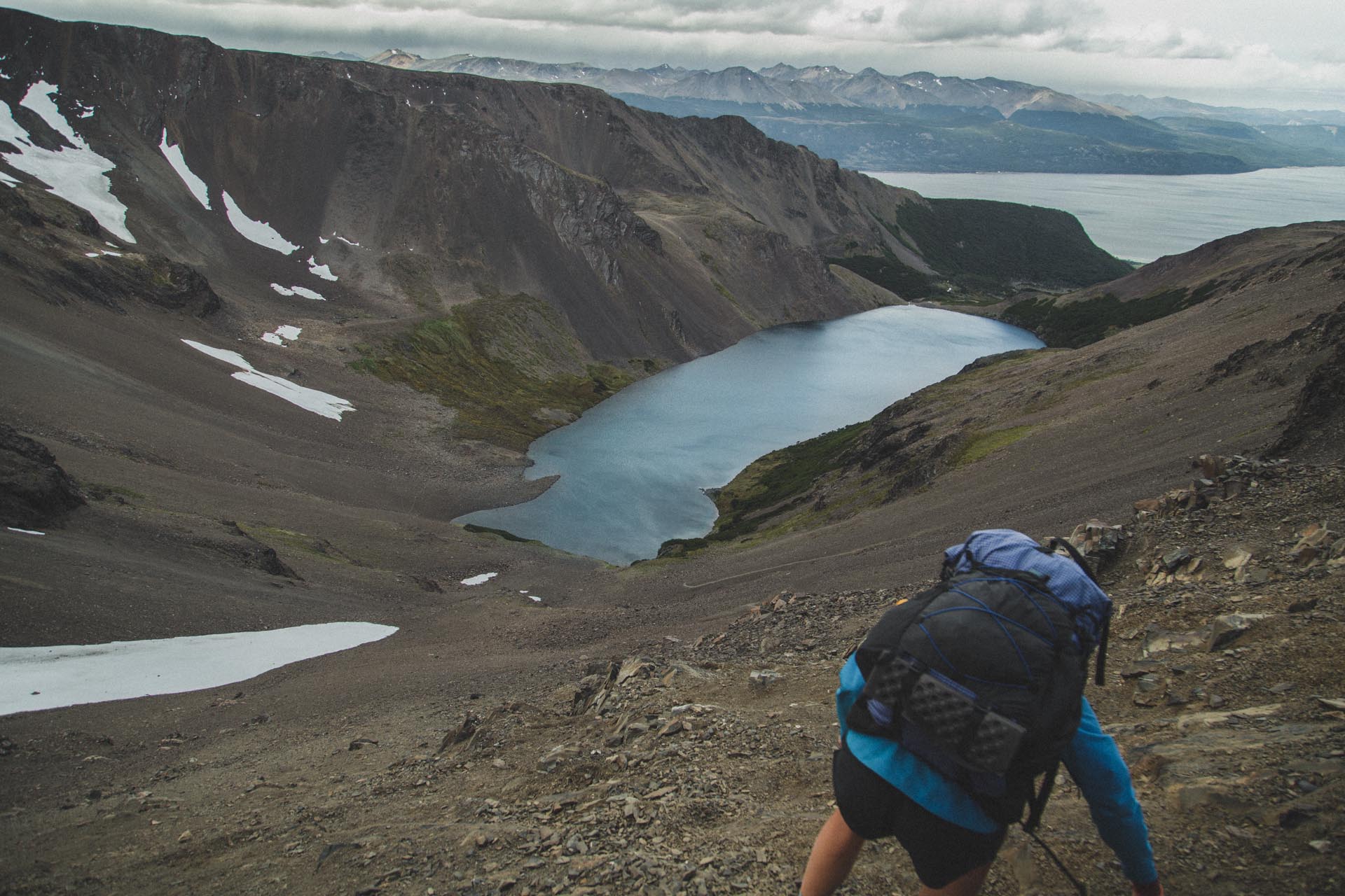
After said zigzagging we climbed up to Paso Virginia. On a clear day you can see Ushuaia across the Beagle Channel. The uphill is followed by an almost flat plateau that ends abruptly and gives you a great view of Laguna de los Guanacos.
During all the trekking we did through Patagonia, the downhill of Paso Virginia was probably the only one that had a proper „slip and you‘re dead“ part.
Before the actual downhill, you first cross over a short section that drops off steeply to your left. It‘s smooth rock with loose rubble sprinkled over it – a great combination indeed! As I said, it‘s effectively not more than a couple of steps, but they are classic high risk, high consequence.
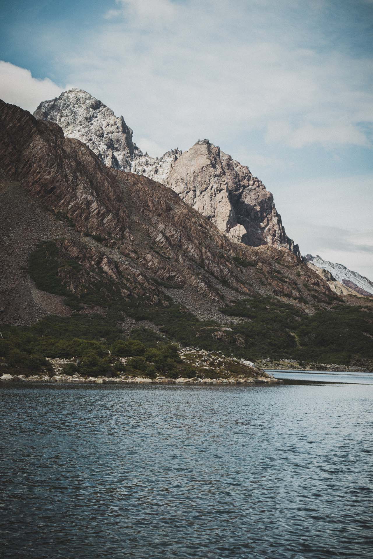
The rest of the downhill is easy. It’s straight down through ankle deep rubble. Just like skiing. There is one great camping spot at the far end of Laguna de los Guanacos.
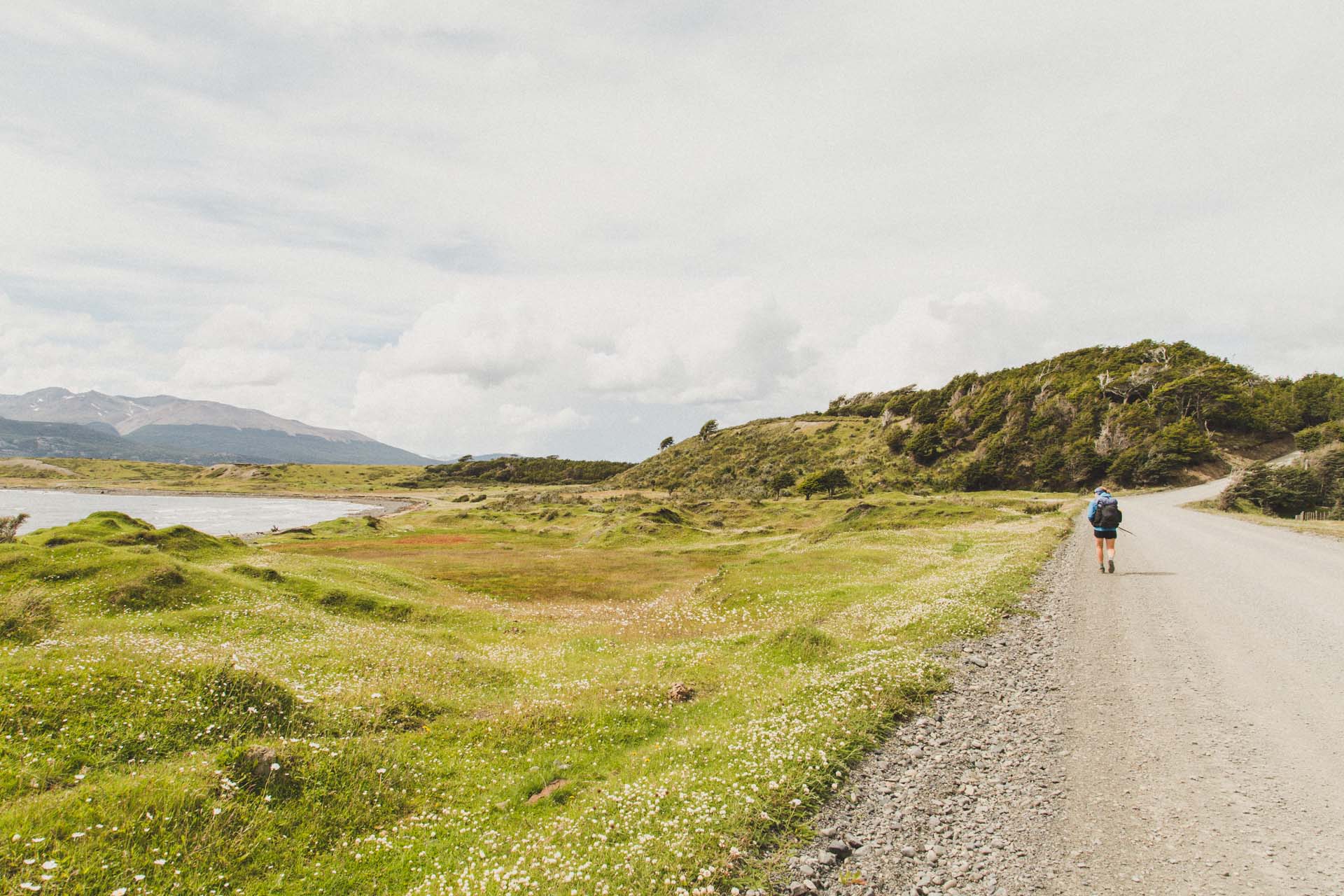
Day 4 – Laguna de los Guanacos to Puerto Williams (13,6km, 240m)
This last stretch was a long drawn downhill through beaver territory. So more swamps and nice views of the Beagle Channel. Once you reach ruta Y-905 you can try to hitchhike back to Puerto Williams. We just walked.
Conclusion
When we did the Dientes de Navarino in mid January 2025, you could probably compare the trek and Puerto Williams to a band that was just about to break through. It’s one that you‘ve heard about, if you were into the scene, but it’s an insider tipp for the average folk.
Much like El Chaltén or Puerto Natales, Puerto Williams is a town that realized that there‘s money to be made from the tourists that come for the trekking. But it‘s just starting out. We think, however, that it‘s only a matter of time before Puerto Williams turns into a more touristy destination. So go there as long as the going‘s good!
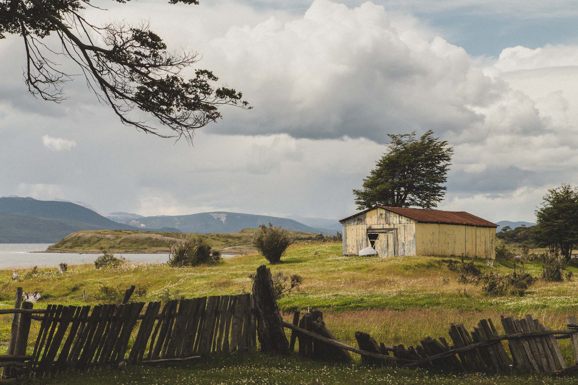
But then again, it is the last frontier as they say. Maybe that will shelter Puerto Williams from becoming yet another tourist trap like it‘s closest neighbor, Ushuaia. And while we recognize the odd advantage of tourist traps, we found it very refreshing to end up in a place that has a certain untouched charm. Even if we had to travel to the literal end of the world for it.